Taroko
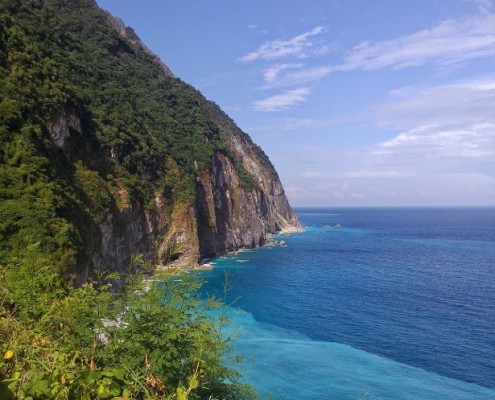
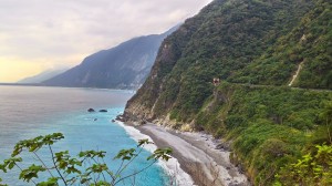
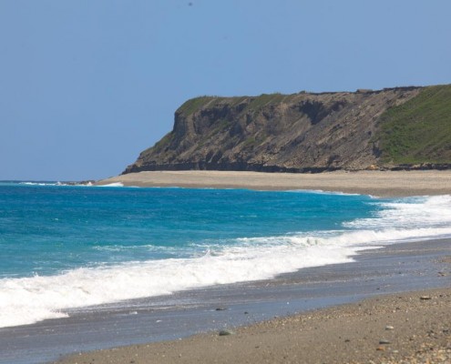
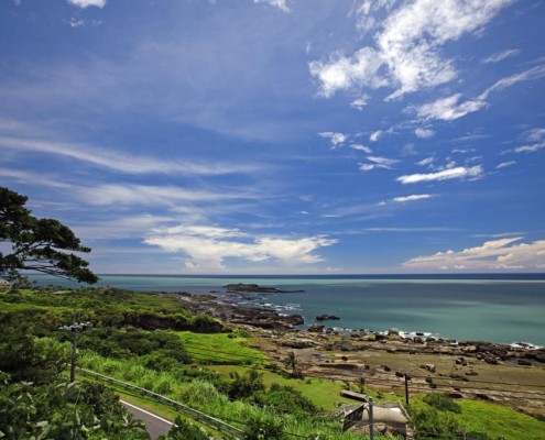
Qingshui Cliff is located between Suhua Highway(Hwy. No. 9), Heren and Chongde. It is 12 km long, 5 of which span the coastline. This 5 km stretch has a majestic natural beauty. When traveling through this section, you can see both the rugged cliff and the endless ocean at the same time, making one wondering how much work the pioneers had to put into building this section of road.
Suhua Highway has recently undergone reconstruction to widen the road, which was accomplished by constructing tunnels. The old highway has become a wonderful scenic route along the ocean. Visitors can have a good view of the waves crashing into the rocky coast. This magnificent area has been designated as one of the Eight Wonders of Taiwan.
Data Source:Hualien Tourist Service Network
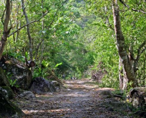
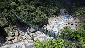
After leaving the Visitor Center and passing through Shakadang Tunnel, you arrive at the entrance of Shakadang Trail. This trail was built for Liwu Power Generator during Japanese occupation, and served as one of the major external arteries to Datong, Dali and other tribal areas. This trail is 4.4 km long, passing Sanjianwu(3D Cabin) and Wujianwu (5D Cabin). It is the best route to explore the Taroko traditional culture and evidence of their ecological philosophy. A round trip generally takes about five hours.The trail was built along the cliff-edge. While walking on the trail, you can enjoy the verdant stream waters, beautiful rocks, and a lush forest landscape.
Data Source:Hualien Tourist Service Network
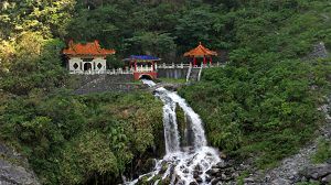
The Eternal Spring Shrine ( Changchun Shrine)
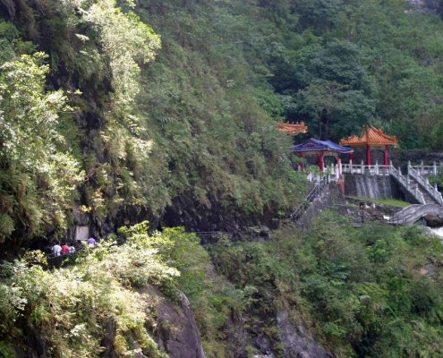
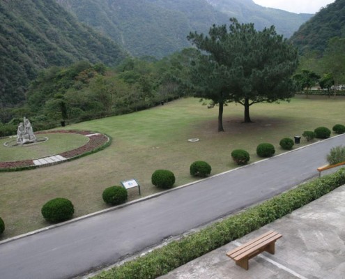
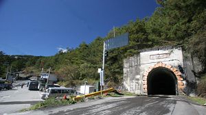
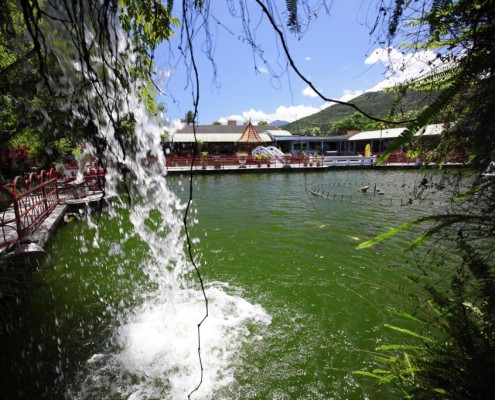
The Eternal Spring Shrine( Changchun Shrine ) is located at the west entrance of Changchun Tunnel on the Central Cross-Island Highway. The architectural style of the shrine was modeled after a famous Tang Dynasty temple. It commemorates the memory of 225 veterans who died while constructing the highway. Right beside the shrine, spring water pours down into the valley, forming the famous “Changchun Falls” of the Central Cross-Island Highway.
Data Source:Hualien Tourist Service Network
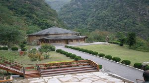
Buluowan is a two layered fluvial terrace, downstream along Liwu River. In the Taroko tribe language, “Buluowan” means “Echos of the Canyon”. This terrace was formerly inhabited by the Taroko tribe and isnow a service station of Taroko National Park. It will become a park dedicated to commemorate the aboriginal Taroko people.Buluowan can be divided into two distinct parts: The upper and lower terrace. There is a 30 meter height difference between the two levels, with the lower one being about 370 meters above sea level, and is where the Service Station located. The office provides tourist services and information, including multimedia demonstrations of the development and history of the Atayal tribe. On the left of the management district there is a Taroko handicraft museum displaying Taroko fabric, baskets, and other traditional crafts.
Data Source:Hualien Tourist Service Network
The Swallow Grotto ( Yanzikou)
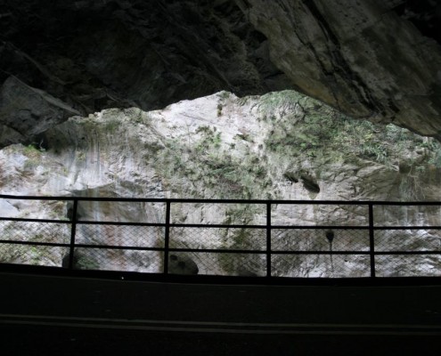
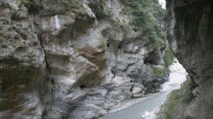
The Swallow Grotto (Yanzikou) trail is located at 179 km along the Central Cross-Island Highway. The trail stretches from Jinheng Bridge in the west to Zhuilu Cliff on the other. It is 1.37 km in length, and takes about 30 minutes to traverse on foot. It is the finest section of the entire Taroko.Walking along the Swallow Grotto, you will see the gorges, natural sinkholes, water geysers, and the uniquely shaped “Rock of the Indian Chief”. The reason behind these geographic forms is the river. This part of the river valley is extremely narrow and deep, therefore as the river comes through , a formation known in Chinese as “The one thread of Heaven” is created. This is a cave or a canyon with a tiny crack or opening at the top, which when viewed from below looks like a narrow thread of sunlight. When the water runs through the canyon, it speeds up due to the narrow channel, creating a much more potent erosive force on the marble embankments, and carves out the beautiful and unique natural forms of Swallow Grotto.
Data Source:Hualien Tourist Service Network
The Zhuilu Old Road was part of the old Cross- Hehuan Mt. Road during the Japanese Occupation. Along the trail, there are many tribal sites and monuments of high historical and cultural values. As a result, the trail has been designated a “Historic Preservation Area”. In 2008 after maintenance, the trail was reopened to the public. Hiking permit is required in advance.
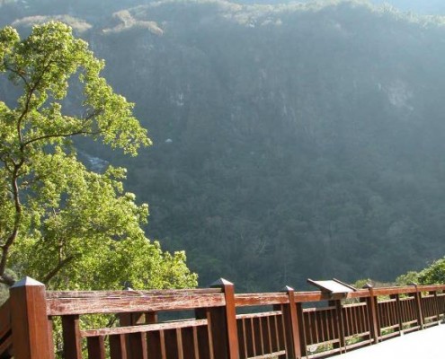
By visiting the trail, you will be able to experience the abundant natural scenery, and understand the value of the rare native plants. You can also overlook the Liwu Canyon, and have a superior vantage point of the entire area. Walking on the trail is often described as similar to walking in the clouds.
Data Source:Hualien Tourist Service Network
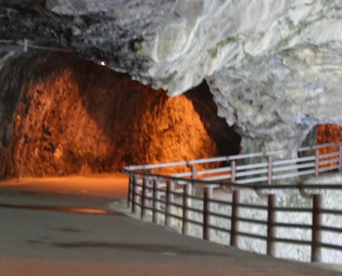
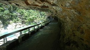
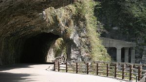
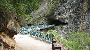
The entrance of the Tunnel of Nine Turns (Jiuqudong) is at 174.5 km along the Central Cross-Island Highway. It was formerly part of the Central Cross-Island Hwy. In 1996 the new Tunnel of Nine Turns was completed, and the original one was converted into a pedestrian trail. From the western entrance to the eastern exit, the length is about 1.3 km. It takes about 40 minutes to traverse each way. The trail is flat and rather broad, but visitors still need to be cautious of falling rocks.Along the trail huge cliffs are a common sight, demonstrating the infinite power of nature. Along the twists and turns, you see the faults and folds on the cliff as well as the clouds lingering at the mouth of the cave. The view is exceptionally enjoyable. The sound of Liwu River crashing into the rocks echoes in your ears.
Data Source:Hualien Tourist Service Network
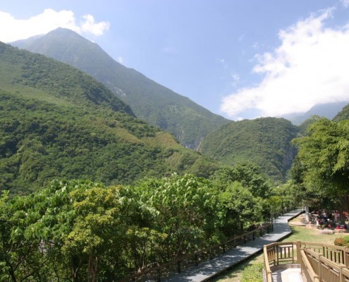
Tianxiang is located on the east section of Central Cross-Island Hwy, 19 km from Taroko, and is where Dasha River and Tacijili River converge to become Liwu River. A multilayered open river terrace was formed because of years of erosion.Previously, when the Taroko tribe lived here, they called this place Tupido, after the Formosan Sugar Palm (Arenga tremula (Blanco) Becc). Later, people renamed it in memory of Wen Tianxiang. On the vast hinterland there are restaurants, hotels, bus stations, parking lots, post office, among other facilities, offering a variety of services for visitors. It is a very important recreation area in Taroko National Park.
Data Source:Hualien Tourist Service Network
Baiyang Trail ( Water Curtain Cave)
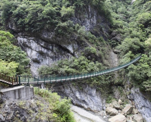
Baiyang Trail was built by the Taiwan Power Company as construction road, and now has been rebuilt to be a flat and wide trail. It is about 2 km from the entrance to Shui Lian Dong (Water Curtain Cave), passing through 7 tunnels and takes about 3 hours for a round trip. Walking along the trail, you see unique cliffs and waterfalls. Near the third tunnel, where water runs into Tacijili River, is the most magnificent section of the canyon landscape.After passing Baiyang Bridge, you see Baiyang Waterfall rushing down from the cliff and flowing down to the lower valley. This breathtaking scenery can be view perfectly from the viewing platform.
Data Source:Hualien Tourist Service Network
Da’yuling, once called “Hehuan Yakou “, is located in a saddle of Central Mountain Range. The name is changed to “Da’yuling” because the construction of the highway was so hard it was reminiscent of the great battle to control the flood waters of Yellow River in early Chinese lore, which was led by a man named Da Yu (Yu the Great).
Da’yuling is 2,565 m above sea level, and marks the center of the Central Cross-Island Hwy. It also borders the counties of Taichung, Nantou, and Hualien. Here the highway splits into three legs, one leading to Mt. Hehuan, one to Mt. Li, and the last to Taroko. It separates Liwu River and Dajia River. Hwy 14-A intersects with Central Cross-Island Hwy here, and leads to Taroko National Park and SheiPa National Park.
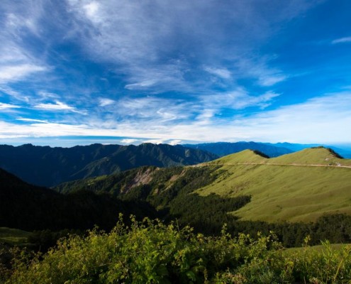
You can enjoy the serenity of the mountains at Da’yuling, as well as have a good view of Black Mt. Qilai, Mt. Pingfeng, and Mt. Nanhu. Da’yuling leans against surrounding mountains and hugs surrounding waters. The beauty of the scenery opens one’s mind. During winter, visitors can appreciate the snow on Mt. Hehuan either by taxi or on foot. On the way, local farmers sell fresh highland vegetables and fruits, providing visitors the delicious fare.
Data Source:Hualien Tourist Service Network
Qixintan Area
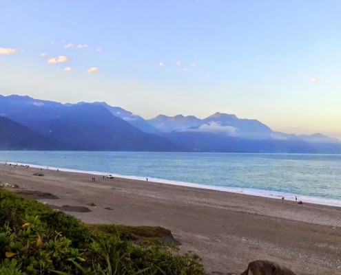
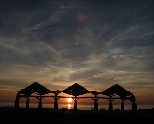
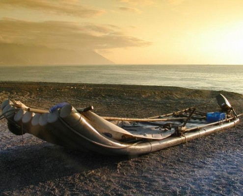
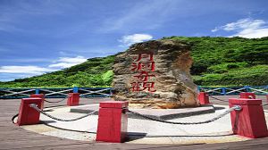
Located on the northeast beach of Xincheng Town, Qixingtan is the only county level scenic area in Hualien. Besides the crescent bay and clear blue waters of the Pacific Ocean, the beach is full of colorful agates that are easily found and appreciated. Qixingtan used to be a small fishing village. Due to its abundant natural beauty, multiple scenic trails, beach pavilions, pagodas, and Star-Gazing Square, Qixingtan has become a popular tourist destination, particularly known for its remarkably blue sky and turquoise seas. Qixingtan beach is the best place to watch the moon and the stars, or simply meditate as you are soothed by the sound of the ocean waves washing over the pebbles.
Data Source:Hualien Tourist Service Network
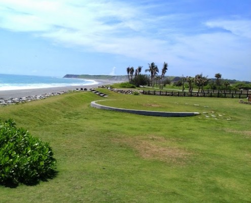
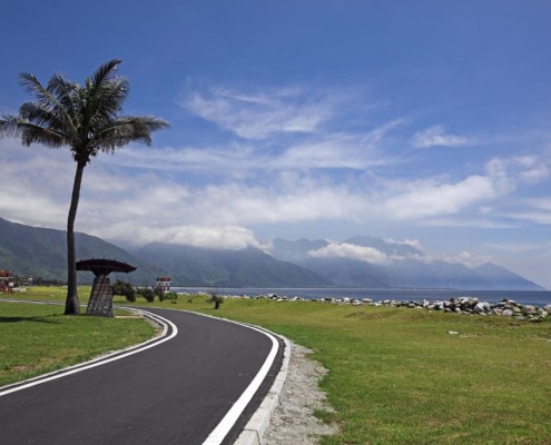
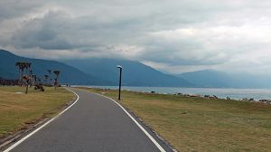
Qixingtan Bike Trail is a trail bathed in sunlight that meanders along the sea. Biking along the coast, you can reach destinations normally off limits to other vehicles. The trail, surrounded by beautiful blue sky and ocean, is easy to navigate, and has incredibly rewarding scenery. There are several rest areas for breaks along the trail.We recommend you to bike in the morning or at dusk to avoid the summer heat. Bring flashlights, you can bike under the full moon, and travel with the moonlight. The only risk in doing so is that the beauty might make it so hard to leave.
Data Source:Hualien Tourist Service Network
Hualien City
Hualien County Stone Sculptural Museum
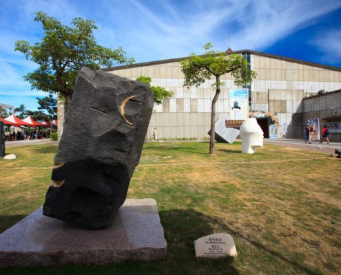
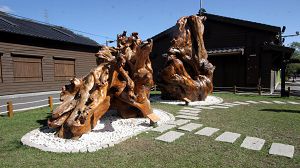
Hualien County Stone Sculptural Museum is the only museum fully dedicated to the art of stone carving. It is also where most of the stone art in Taiwan originates. All of the sculptures displayed in the museum are the best of the collections and works of the Int’l Stone Sculpture Festival.There are several different wings in the museum, including collection area, first planned exhibition area, modern stone sculpturing area, traditional stone sculpturing area, and video/audio area. Besides displaying stone archaeological treasures, there is a gallery dedicated to national and international stone carving artisans.
Data Source:Hualien Tourist Service Network
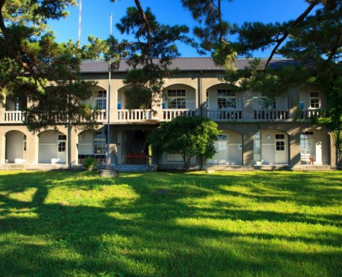
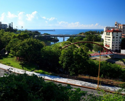
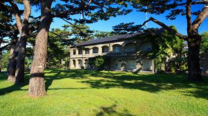
Built in 1943, Pine Garden was formerly inside of a pine forest and used as the military department’s office of Hualien Port. Now, it shares the area with Broadcasting Cooperation Hualien, Chunghwa Telecom,and Meilun waterworks facility. Pine Garden offers a wonderful view overlooking the mouth of Meilun River, Hualien Port, and the Pacific Ocean. Its vantage point makes it the best location to control both air and sea traffic in the area, while still camouflages well in the forest. This is why it was selected as the Japanese military control center.
Data Source:Hualien Tourist Service Network
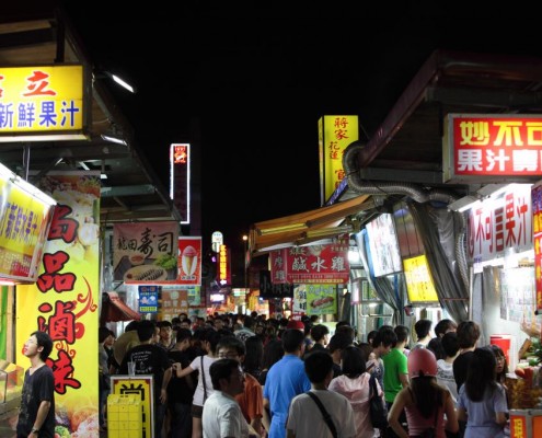
Hualien Ziqiang Night Market is the best place for tasting local food. Besides common food like rice noodles, hotpot, Japanese style rice, Cantonese congee, ramen, sushi, oyster omelet, steaks and so on, there are also fresh squeezed juice, tea, coffee, bean curd, grass jelly, and other delicious beverages. You can also find stinky tofu, braised snacks, BBQ, Taiwanese fried chicken, spring rolls, GuanCaiBan(coffin board), and other local delicacies, which are always a great choice for a midnight snack. There is also a variety of foreign food to choose from, such as handmade pizza and outdoor Japanese pub Izakaya. When in Hualien, Ziqiang Night Market is a must-go for food.
Data Source:Hualien Tourist Service Network
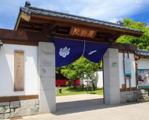
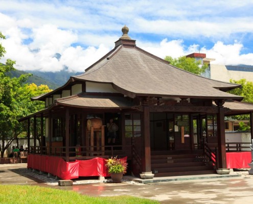
Keishuin, a third-level historical site in Hualien, was built during the Japanese Occupation, and served not only as a spiritual center for Japanese immigrants but also a medical center, learning center, and funeral home. The main building has a wooden structure with a Japanese-style four-pillar rooftop, following Japanese temple building tradition. The garden is lush, vibrant, and serene. It is a nice place to experience the spirit of Zen.
Data Source:Hualien Tourist Service Network
East Coast
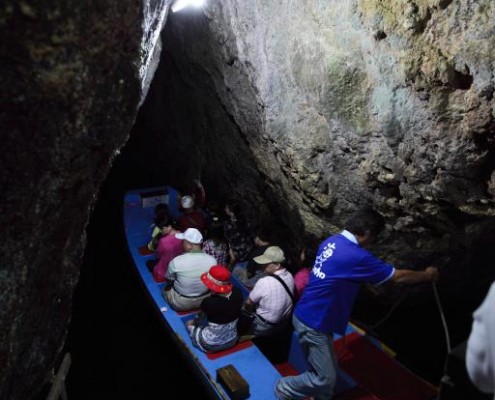
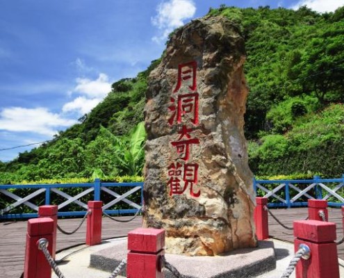
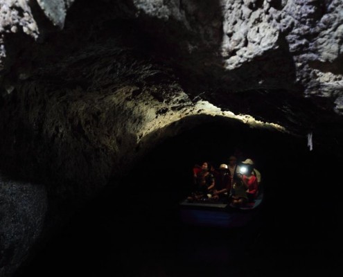
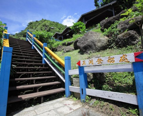
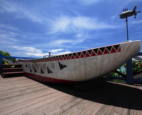
Yuedong, a natural stalactite cave with a 5 m deep lake inside, located in Fengpin Township, with Shitiping to its south and about 1 km from Gangkou Village. The water of the lake inside rises with the waxing moon, which is how it got the name “Yuedong” (Moon Cave), or”Yuejing” (Moon Well). Legend has it that a thousand-year-old aggressive eel lives in it;, therefore no one has ever yet dared to dive in.
Data Source:Hualien Tourist Service Network
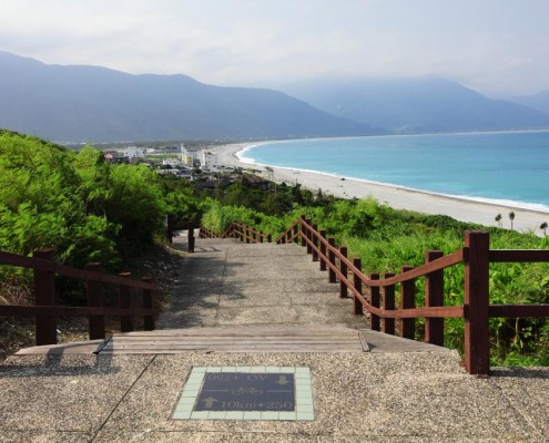
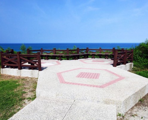
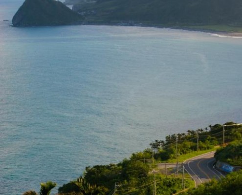
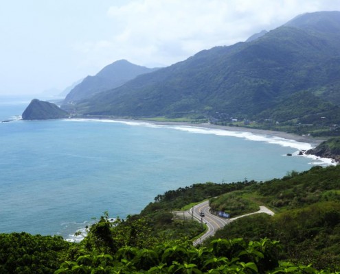
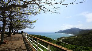
Baqi lookout stands at 32 km on Highway 11. It is one of the few highest points on the coastal highway. Standing on the lookout, to the south you see Jiqi Bay, Turtle Roaring Cape, Sinshe Cliff, and other unique features of the coastal landscape.There are several coin-operated telescope for a clearer view of the surroundings. At sunset, you can spot fishing boats coming home; to the south you see the volcano on the south side of Jiqi Bay.
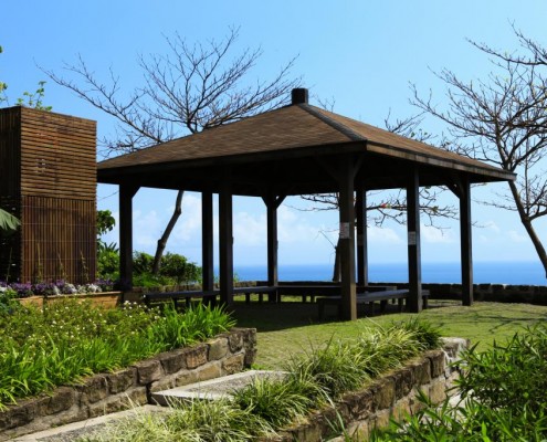
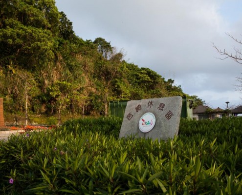
East Coast National Scenic Area Administration organized a rest area here with shades, gardens, an aboriginal souvenir shop selling authentic handcrafted goods, as well as hot and cold beverages and snacks.
Data Source:Hualien Tourist Service Network
East Rift Valley
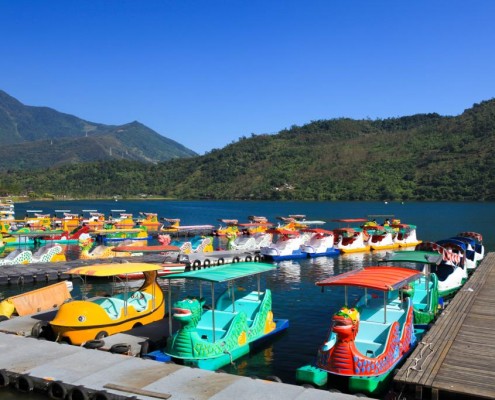
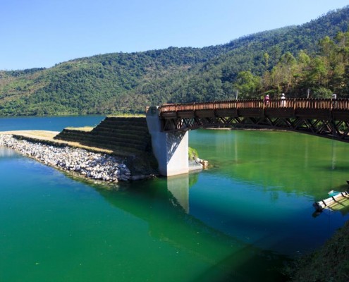
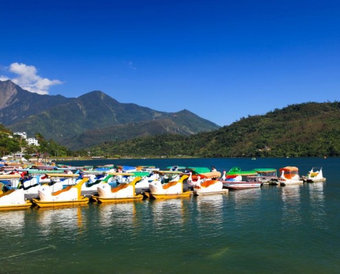
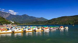
Located in Shoufeng Township,at the northern tip of East Rift Valley Scenic Area, Liyu Lake is the largest inland lake in Hualien. It is a barrier lake formed by the tributaries of Mugua River and Hualien River. The water comes from underground springs and is crystal clear all year round. There are a park, camp ground, bike trail, and other facilities. Water sports like boating, cross-lake swimming, and the Dragon Boat Festival are all held here. From time to time various performances also take place here.
Every year around April thousands of fireflies flash above the lake, making the whole lake shimmer with light.
Data Source:Hualien Tourist Service Network
LinTianShanForestry Cultural Park
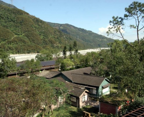
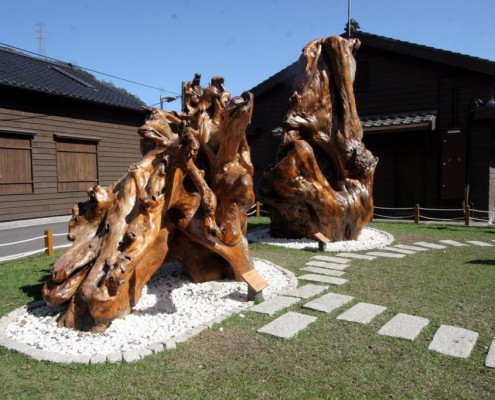
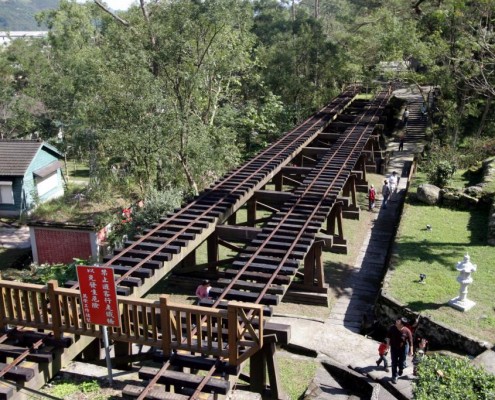
LinTianShan Forestry Cultural Park is located on Linsen Road in Fenglin Township. It is not the largest logging yard in eastern Taiwan but is definitely the best preserved. During Japanese occupation,68 km of railway, all the way up to 2,500 m. above sea level, was completed for its lumber transportation. The prosperity in the old days can still be spotted in the homes, shops, theaters and other traces left. After logging bans in natural forests in 1987, the forest has been gradually returning to its natural state. Today, LinTianShan is not onlynatural, but also artistic and historical. Walking down the trail, you can explore the old houses and gardens, looking for traces and imagining the prosperity in the old days.. Don’t miss the story story of “Senban” (Molisaka) told by the staff.
Data Source:Hualien Tourist Service Network
The Hualien Sugar Factory has experienced many years of expansion and renovation. The amount of sugar production has been increased and quality improved. In order to provide the factory with raw materials, vast sugar cane fields can be found in Xincheng Township to the north and Fuli Township to the south, which have become a unique sight in East Rift Valley. In addition to granulated sugar, Hualien Sugar Factory also has a frozen products department producing all flavors of popsicles and ice cream. These products are very popular with both locals and visitors; “a trip to the Sugar Factory for the ice cream products” has become a favorite tourist activity.
Data Source:Hualien Tourist Service Network
Matai’an Wetland Ecological Park
The Matai’an Wetland Ecological Park is located at the foot of Masi Mt. in Guangfu Township. It is a natural marsh wetland, and covers an area of nearly one hundred hectares.
The name “Matai’an” evolved from the name “Vataan”, which means “pigeon peas” in the Amis language. Amis people carried pigeon peas with them and planted them wherever they went, because they believed it brings good fortune. Therefore, like the name suggests, “Vataan” is a place full of pigeon peas.
Data Source:Hualien Tourist Service Network
Located in Nan’an , Yuli Town, Walami Trail is 13.5 Km long and is fairly flat and easy. The name “Walami” refers to a species of fern in the Bunun language. Walami gets very little sun, as a result is very cool during summertime. In the winter, most leaves turn yellow and red, giving the entire mountain a beautiful coloration.
Enjoy the coolness from Shanfeng Waterfall and stop at the pavilion for a relaxing break. At 4.5 km up the trail, there is the “five-star” Jiaxin camp ground. There are pavilions, lavatory and shower facilities free for use. For continuing the hike, permission to enter the mountains must be applied for. You then can finish the next 13.5 Km to Walami Cabin. A 2 Day 1 Night itinerary ought to be planned for enthusiastic hikers.
Data Source:Hualien Tourist Service Network
Liushidan (Sixty Stone ) Mountain
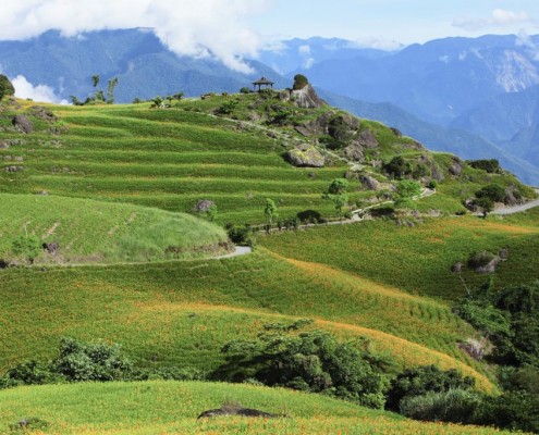
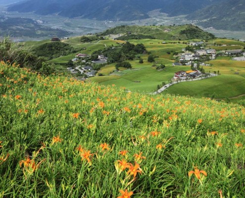
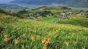
Along with Jinzhen(Daylilies) Mt., Liushidan Mt. is regarded as one of Hualien County’s two large daylily cultivation areas. Even if you come in the wrong season for daylilies, the exquisite and vast open scenery will still take your breath away. There are arbors on the side of the trail, overlooking the rice paddies and the whole East Rift Valley. It is nicknamed “Little Switzerland of Taiwan” for its magnificent scenery with a taste of Europe. All year round visitors flood in to experience the tranquil European atmosphere. If you want to see daylilies in golden bloom, make sure to visit in summer!
Data Source:Hualien Tourist Service Network


